
REVIEW · VOLCANO HIKES
La Soufriere Volcano Hike /Topdawg Tours
La Soufrière is not a gentle stroll to a viewpoint. It is a serious climb up St. Vincent’s highest volcano, with steep ridges, tropical forest, and broad views toward Georgetown, Chateaublair, and, on a clear day, the Pitons of St. Lucia. The volcano last erupted in April 2021, so this is a living part of the island, not just a pretty backdrop.
I like the real physical challenge and the way the route takes you through banana and coconut plantations before reaching the foot trail. I also like that Wayne of Topdawg Taxi and Tours will run the trip even for a single person when the schedule allows, rather than requiring you to fill a large group. The main drawback is simple: this hike is hard, and bad weather can turn the upper trail around.
Key points to know before booking
- The climb reaches roughly 4,000 to 4,400 feet, depending on how the height is measured.
- The summit route is about 3 1/4 miles uphill, with steep volcanic ridges and tropical vegetation.
- A clear day can reveal both sides of St. Vincent, plus the Pitons and St. Lucia’s volcano in the distance.
- The full outing takes about six hours, though the west-side continuation can extend the walking distance to 10 or 12 miles.
- Wayne is the named guide and operator, and the group size is limited to 15 people.
- Rum punch, water, juices, fruit, snacks, and guiding are included, but entrance fees are extra.
Why La Soufrière Is St. Vincent’s Big Hiking Test
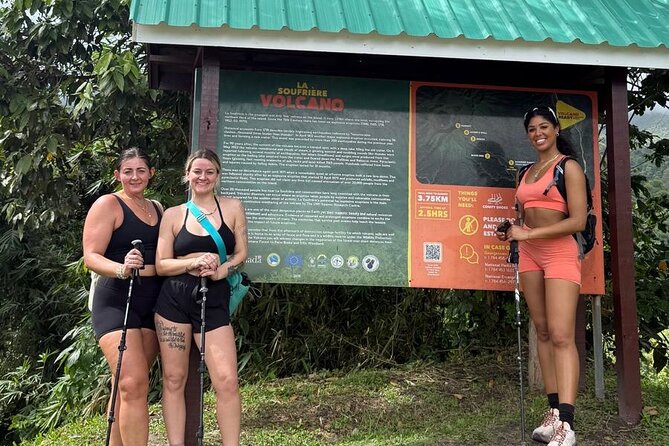
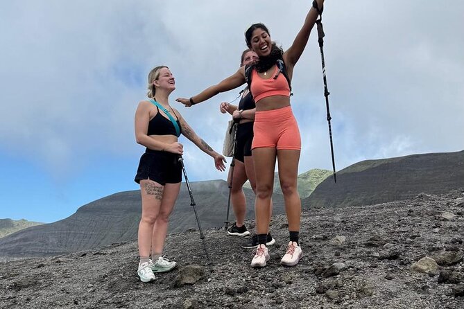
La Soufrière rises above the northern end of St. Vincent, reaching more than 4,000 feet above sea level. It is the island’s highest point and an active volcano, with its most recent eruption in April 2021.
That detail matters. You are not simply walking up an old volcanic cone that has been quiet for centuries. The mountain remains part of St. Vincent’s active natural world, and weather can change quickly near the top. The tour requires good conditions, so a cancellation for poor weather may result in another date or a full refund.
The reward is the scale of the view. From high on the mountain, you can look toward Georgetown on the Windward coast and Chateaublair on the Leeward coast. If the air is clear, you may also see the Pitons and the volcano of St. Lucia far across the water.
Do not book this as a casual sightseeing stop. The route is described as a day’s journey for energetic hikers. One account of the hike reached about 3,300 feet before worsening weather forced a turnaround, with the descent proving even harder than the climb. That is useful advice: getting back down is part of the test.
More Volcano Hikes in the world:
- Etna Volcano: South Side Guided Summit Hike
★ 4.7 · 1,545 reviews - From Antigua: Adventure, 2-Day Hiking to Acatenango Volcano
★ 4.4 · 1,189 reviews - The Volcano Heart Tour: Hiking, Tasting and Sunset Experience
★ 5.0 · 1,120 reviews
From Kingstown to the Windward Coast
The day begins at 9:00 a.m. at Mona’s Fine Cuisine Wharf in Kingstown. Pickup is offered, and the starting point is near public transportation, which gives you some flexibility if you are arranging your own way to the meeting point.
The drive heads along St. Vincent’s picturesque Windward coast. You pass banana and coconut plantations before reaching the point where the foot trail begins. This early section helps you see how quickly St. Vincent changes from an urban harbor area to working farmland and mountain country.
The transport is not just a way to kill time before the hike. It places the walk in context. La Soufrière is tied to the island’s farms, villages, and coastlines, and the changing scenery makes the mountain feel like part of everyday St. Vincent rather than an isolated attraction.
Since the scheduled meeting time is 9:00 a.m., plan to eat sensibly before setting out. The included snacks, fruit, juices, bottled water, and rum punch help during the day, but they are not a substitute for arriving ready for a strenuous climb.
The First Trail Through Bamboo and Tropical Trees
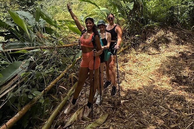
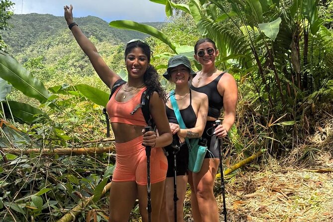
Once you leave the road, the footpath moves into a tropical setting filled with bamboo and other trees. The route follows steep volcanic ridges, so the trail is not a flat forest walk with an occasional rise.
This is where your fitness level begins to matter. The tour information specifically calls for a strong physical fitness level, and that warning should be taken seriously. You will be walking uphill for about 3 1/4 miles just to reach the crater area. The distance may sound manageable on paper, but steep ground makes every mile count twice.
I like this part of the route because it offers more than a summit photo. The bamboo and forest give you a close look at the island’s plant life, while the ridges gradually open the views. You get the feeling of climbing through the mountain rather than being delivered to a lookout.
The tradeoff is comfort. A steep tropical trail can be tiring, and conditions may be wet or slippery if rain has passed through. The supplied information does not specify footwear or equipment, so you should choose sturdy hiking shoes and dress for a demanding outdoor day.
The Final Climb Toward the Crater
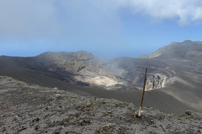
The upper ascent is the central event of the tour. La Soufrière reaches more than 4,000 feet, and the climb becomes increasingly exposed and demanding as you gain height.
The supplied descriptions use both 4,000 feet and 4,400 feet for the summit, while one account describes reaching roughly 3,300 feet before turning back. Treat those numbers as practical estimates rather than a precise promise of a particular elevation reading. The clear point is that this is a high mountain hike with a steep finish.
Weather is a major factor. Clouds may hide the views, rain can make the route more difficult, and poor conditions may prevent a safe attempt at the crater. If the weather changes, turning back is the sensible choice, not a failure. On this mountain, reaching a lower point safely is better than forcing the last section.
When conditions cooperate, the upper route provides the kind of view that makes the effort worthwhile. You can look across both coasts of St. Vincent, with Georgetown on one side and Chateaublair on the other. Clear visibility may stretch all the way to St. Lucia, including the Pitons and its volcanic peak.
A few more hikes around the world worth a look
- From Marrakech: Ouzoud Waterfalls Guided Hike and Boat Trip
★ 4.7 · 33,630 reviews - Berber villages : Atlas Mountains Day Hike from Marrakech
★ 5.0 · 14,007 reviews - Bali: Sunrise Mount Batur Guided Hike with Breakfast
★ 4.8 · 9,660 reviews - Bali: Mount Batur Sunrise Guided Hike and Natural Hot Spring
★ 4.8 · 9,284 reviews
The View From 4,000 Feet
The scenery is the strongest reason to take this tour. St. Vincent’s volcanic shape becomes easier to understand from above, with the Windward and Leeward coasts visible in different directions.
Georgetown offers the view toward the east side of the island. Chateaublair lies on the west side, and the route can continue down that side if the day’s plan and conditions allow. Seeing both coasts from the mountain gives the hike a clear geographical payoff.
The distant sight of St. Lucia is weather-dependent. Do not book this expecting the Pitons to appear on schedule. Tropical clouds can close in quickly, and the upper mountain may be covered even when the coast below is bright.
Still, the uncertainty is part of the mountain day. You are visiting a high volcanic summit, not an indoor observation deck. A clear horizon is a bonus, while the forest, ridges, and sense of height remain even when distant islands disappear.
Could You Continue Down the West Side?

The expedition can continue down the west-side trail and finish in Chateaublair after a total distance of 10 or 12 miles. That is a much bigger undertaking than simply hiking up and returning along the main route.
The information provided says the activity ends back at the Kingstown meeting point, so you should confirm the exact plan with Topdawg Taxi and Tours before setting out if the west-side descent is important to you. The standard description gives an approximate six-hour duration, while the longer west-side route may require more time and stamina.
This option is attractive for strong hikers who want to cross a large section of the mountain. It is less suitable if you have a fixed afternoon schedule or are unsure about your endurance. The difference between a roughly six-hour outing and a 10 or 12-mile mountain journey can be substantial.
Ask about the day’s route when you book. That one question will help you understand whether you are preparing for a summit hike with a return plan or a longer point-to-point crossing.
What the $95 Price Really Covers
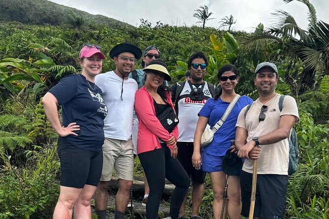
At $95 per person, the tour includes a guide, bottled water, rum punch, fruit juices, local fruit, and snacks. Pickup is offered, and the group can include up to 15 people.
The value depends mainly on what you want from the day. If you prefer a guided mountain outing rather than arranging the route yourself, the price covers local organization, trail guidance, refreshments, and transport support. The small maximum group size is also helpful on a demanding trail, since you are less likely to be part of a huge outing.
The price does not include entrance fees. The amount of those fees is not specified, so budget for an extra charge and confirm it before departure.
Wayne’s approach may appeal to solo hikers. When he had no other people scheduled for one outing, he still offered to take the customer alone without an extra charge. That suggests some flexibility, though you should confirm the arrangement for your own date.
Who Should Book This Hike?
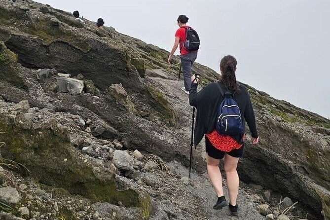
I would recommend this tour to fit hikers who want a real mountain day and care more about volcanic scenery than easy sightseeing. It suits people who enjoy steep trails, changing weather, and the possibility of a hard-earned view.
It may also suit solo visitors who want a local guide and do not want to organize the mountain logistics alone. The maximum of 15 people keeps the group from becoming unwieldy, while Wayne’s willingness to operate a one-person outing can be useful when your schedule does not match other bookings.
I would not choose it for a relaxed family excursion, a short port stop, or anyone uncomfortable with steep uphill walking. The trail length, elevation, and weather risk make this a poor match for limited fitness. You also need enough time and energy for the descent, which can feel harder after the climb.
Because the tour requires good weather, keep some flexibility in your St. Vincent schedule if possible. A full refund or alternate date is available if poor conditions cancel the outing, but a weather backup is still wise.
Practical Details for a Better Day
The trip starts at 9:00 a.m. from Mona’s Fine Cuisine Wharf in Kingstown and ends back at the meeting point according to the stated arrangement. Confirmation is provided at booking, and the activity is near public transportation.
Bring a serious attitude toward the hike. Wear footwear suited to steep volcanic ground, carry any personal supplies you need, and be prepared for the possibility that rain or cloud will limit the high views. The tour supplies water and refreshments, but your own physical preparation matters more than the rum punch waiting at the end.
Do not judge the hike only by the uphill distance. The descent can be more difficult, especially if the trail is wet or your legs are tired. A steady pace and an honest assessment of your condition are more useful than chasing the summit at all costs.
The free cancellation rule gives you flexibility before the deadline. You can cancel for a full refund up to 24 hours before the 9:00 a.m. start. Changes or cancellations inside that period are not accepted, except when the operator cancels because of poor weather or an insufficient number of participants.
Is Topdawg’s La Soufrière Hike Worth Booking?
Book this tour if you want St. Vincent’s biggest natural challenge, broad coastal views, and a guide-led route through plantations, bamboo, and volcanic ridges. The $95 price is reasonable for a guided outing with drinks, fruit, snacks, and pickup support, though you should add the entrance fee and confirm the precise route.
Skip it if you want an easy volcano visit or have only a small window between other plans. La Soufrière demands strong fitness, patience with weather, and enough energy for the way down.
For the right person, this is a memorable way to meet St. Vincent on its own terms: steep, green, volcanic, and sometimes gloriously clear.
FAQ
Where does the La Soufrière hike begin?
The tour begins at Mona’s Fine Cuisine Wharf in Kingstown, St. Vincent and the Grenadines.
What time does the tour start?
The scheduled start time is 9:00 a.m.
How long does the tour last?
The listed duration is approximately six hours.
How high is La Soufrière?
La Soufrière rises to more than 4,000 feet above sea level. The information also refers to an elevation of about 4,400 feet.
How far is the climb to the crater?
The ascent to the crater is about 3 1/4 miles.
Is the hike physically difficult?
Yes. A strong physical fitness level is required, and the route includes steep volcanic ridges.
What is included in the price?
The price includes a guide, rum punch, bottled water, fruit juices, local fruits, and snacks. Entrance fees are not included.
What happens if the weather is poor?
The activity requires good weather. If it is canceled because of poor conditions, you can choose another date or receive a full refund.
Just added around the world
- Vermont Nature Trail with Topdawg Taxi and Tours★ 5.0 · 3 reviews
- Vermont Nature Trail Tour with Fraser’s Taxi and Tours★ 4.5 · 31 reviews
- One Day Mount Bisoke Hike Adventure Tour in Volcanoes Park★ 4.5 · 4 reviews
- 8 Days Kilimanjaro Hike via Lemosho Route★ 5.0 · 39 reviews
- Torc mountain & waterfall hike. Killarney. Private guided group. 3½ hours.★ 5.0 · 4 reviews
- 1-Day Bisoke Volcano Hiking Experience★ 4.0 · 4 reviews
- Local hills hiking★ 5.0 · 17 reviews
- Full day Mt. Bisoke hike★ 5.0 · 6 reviews
Volcano Hikes, compared.
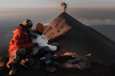
From Antigua: Adventure, 2-Day Hiking to Acatenango Volcano
Read our review →
The Volcano Heart Tour: Hiking, Tasting and Sunset Experience
Read our review →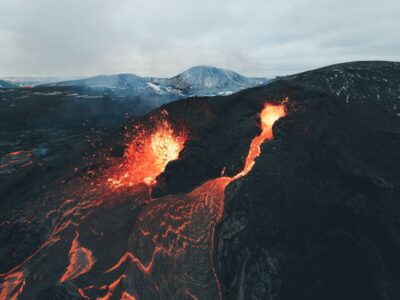
Reykjavík: Volcano Eruption Site and Reykjanes Hiking Tour
Read our review →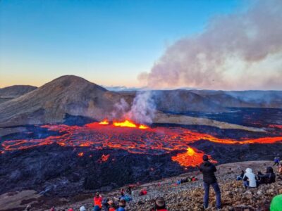
Reykjavík: Guided Afternoon Hiking Tour to New Volcano Site
Read our review →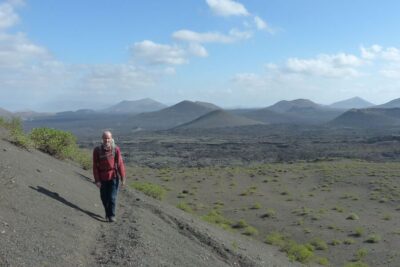
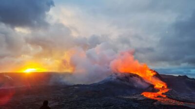
From Reykjavík: Fagradalsfjall Volcano Hike with Geologist
Read our review →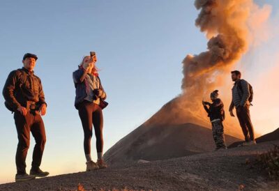
Antigua, Guatemala: Volcano Acatenango Overnight Hiking
Read our review →Browse the lists this tour appears in