
REVIEW · CAPE VERDE
Santiago: Monte Tchota Natural Park to Pico d’Antónia Hike
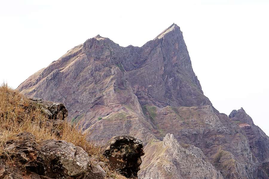
Santiago’s highest summit is reached by a serious mountain hike, not a casual walk. You begin in cool Monte Txota at about 800 meters, then climb toward Pico d’Antónia at 1,394 meters before descending through narrow, tilted paths. On a clear day, the reward is a huge view across much of Santiago, with Maio and Fogo possibly visible far away.
I like the change in climate and scenery, from Monte Txota’s cool, plant-filled slopes to the open views near the summit. I also like the practical setup: hotel pickup, transport, a guide, insurance, and a simple picnic are all included. The main drawback is the route’s difficult rating. A 9-kilometer one-way trail with steep sections, a 660-meter climb, and about 1,280 meters of descent asks a lot from your knees and lungs.
Key points to know before you book
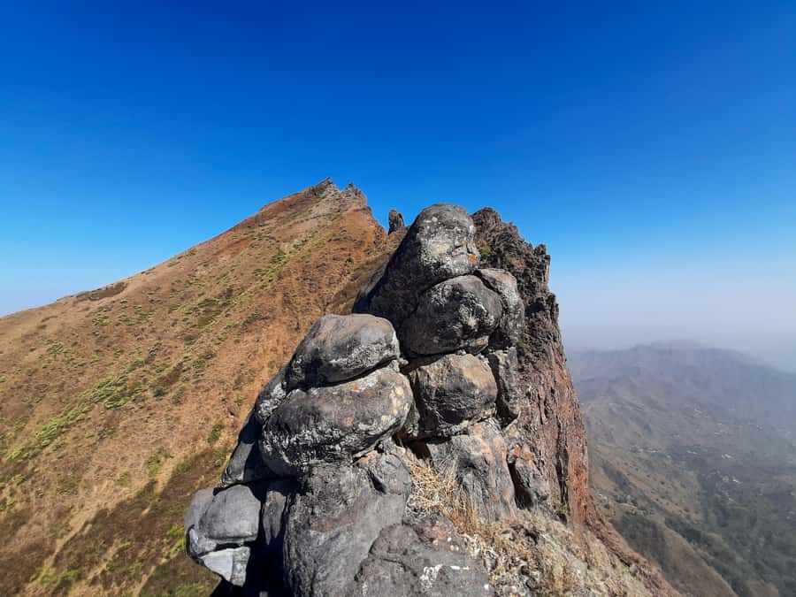
- Pico d’Antónia reaches 1,394 meters, the highest point on Santiago Island.
- Monte Txota has a cooler micro-climate at roughly 800 meters, with notable plant life and biodiversity.
- The trail covers about 9 kilometers and takes roughly 4 to 5 hours of walking, within a 6-hour outing.
- The route is difficult, with narrow, tilted paths and some sections that may require basic climbing.
- The picnic includes a sandwich, fruit, and soft drink, but you still need to bring plenty of water.
- Guide Elder is especially good at pacing and support, with a calm approach to safety and local nature.
Starting in Rui Vaz and entering Monte Txota
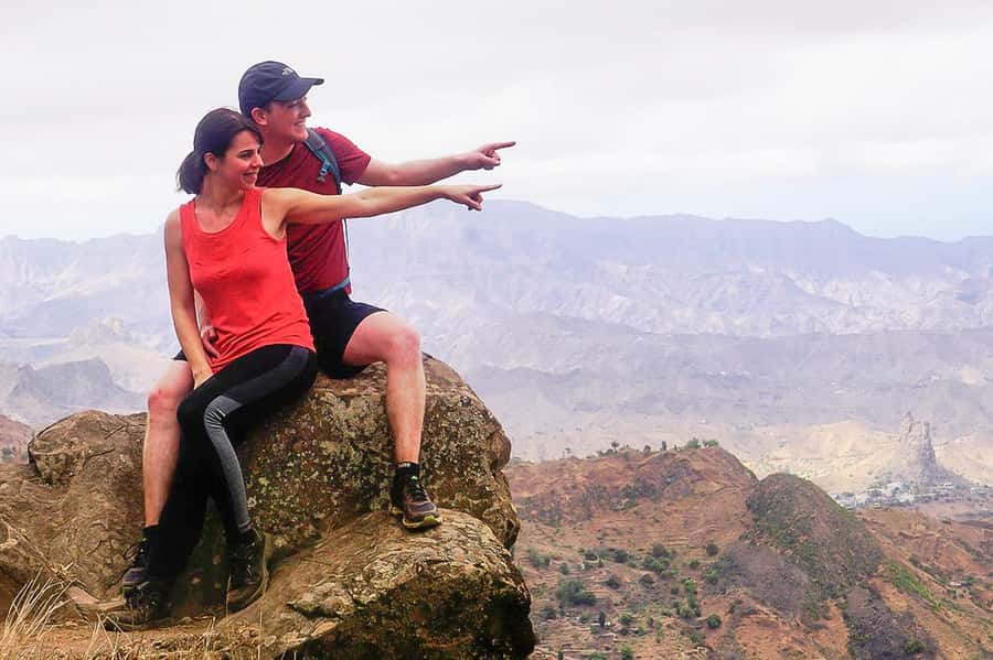
Your day begins with pickup at your accommodation in Praia or São Jorge dos Órgãos. The drive takes you toward Rui Vaz, where the walking portion starts. If you are staying outside Praia, an extra pickup and drop-off fee applies, so check that cost before you confirm.
Monte Txota is one of the most appealing parts of this trip. At around 800 meters, it has a cooler local climate than many lower parts of Santiago. That change matters. You get a more comfortable start to a demanding hike, especially if you are walking during a hot period elsewhere on the island.
The park is also valued for its biodiversity. This is not simply a road leading to a summit. You spend time on mountain paths with changing vegetation and broad views opening between sections of the trail. Your guide can add context about the plants and natural setting, which helps you notice more than just the next uphill section.
I would treat the first part as a chance to set your pace. Do not race out of Rui Vaz. You have a long climb ahead, and a steady rhythm will serve you better than a quick start. Guides have been praised for staying close to the group’s pace, helping during harder sections, and explaining the surrounding nature in a clear way.
A few more hikes around the world worth a look
- From Marrakech: Ouzoud Waterfalls Guided Hike and Boat Trip
★ 4.7 · 33,630 reviews - Berber villages : Atlas Mountains Day Hike from Marrakech
★ 5.0 · 14,007 reviews - Bali: Sunrise Mount Batur Guided Hike with Breakfast
★ 4.8 · 9,660 reviews
The climb toward Pico d’Antónia
Pico d’Antónia is Santiago’s highest point, rising to about 1,394 meters. Reaching it gives the hike a clear purpose, but the summit is only one part of the experience. The route itself is the real work.
The total trail distance is about 9 kilometers. Walking time is roughly 4 to 5 hours, while the full outing lasts about 6 hours with transport and a picnic stop. The route has about 660 meters of uphill gain and as much as 1,280 meters of descent. That large descent figure is important. Many people think the climb will be the hardest part, but a long downhill on uneven ground can be tougher on your legs.
The path is described as narrow and tilted in places. You may also meet sections that require level 1 climbing, so this is not a smooth, broad walking trail. Hiking shoes are essential. Walking sticks are a smart addition, especially for balance during the descent.
The route is one way rather than a simple loop. The return is through the Monte Txota area and then by vehicle, rather than walking back over the same route. That saves you from repeating the full climb, but it also means you should focus on the trail under your feet and not expect a marked recreational path with many easy alternatives.
For me, this is best approached as a mountain outing with a guide, not as an independent sightseeing stop. The guide’s role matters on a narrow trail. Elder, one of the named guides, has been singled out for patience, empathy, nature knowledge, and attention to group safety. Those qualities are useful here because the route changes from uphill effort to careful downhill walking.
Views from Santiago’s highest point
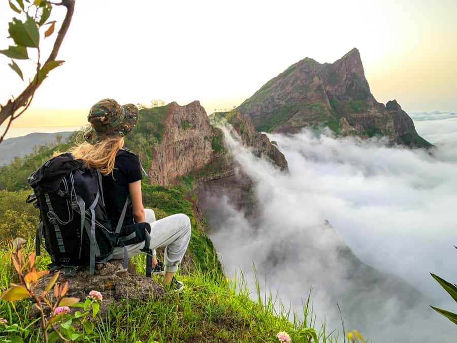
Near the top, the reward shifts from plants and close mountain views to a much wider panorama. You can look across the São Jorge Valley and see much of Santiago’s built and natural terrain from a high position.
On a clear day, you may also see Maio Island and the volcano on Fogo Island. Treat those distant views as weather-dependent extras, not a promise. Cloud, haze, and changing mountain conditions can block far-off islands even when the nearer views are good.
This is one reason I would not book the hike only for a specific photograph. The summit gives you the highest point on Santiago and a broad sense of the island, but visibility is never fully in your control. The walk still has value when distant islands disappear behind cloud.
The stop near the high point is also a chance to catch your breath and take in the São Jorge Valley. Bring your camera, but keep your hands free when the path is narrow. A small daypack with water, sunscreen, and a hat is more useful during the walking sections than carrying extra gear.
The picnic and the return through the park
A small picnic is included, with a sandwich, fruit, and a soft drink. It is a welcome pause during a long hike, but it should not replace breakfast or your own trail food. The supplied meal is modest, and you are specifically advised to bring drinks and water.
The picnic stop also breaks up the effort. You can rest, enjoy the views, and let the group spread out before continuing. If your pace is slower than others, tell the guide early. The guide can help the group move at a sensible speed, and past feedback points to the value of guides who adapt rather than pushing everyone at one fixed pace.
After the summit section, the route returns toward Monte Txota Natural Park. The descent is where good footwear and walking poles become especially useful. A narrow, sloping path can feel more awkward going down than up, and tired legs reduce balance.
You should expect the final walking section to feel demanding. One recent participant described the end as tough but still worth the effort. That is a fair way to frame it: the outing gives you a strong physical challenge, and the views help make the effort feel worthwhile, but this is not a relaxed afternoon stroll.
At the end of the trail, transport takes you back to your accommodation. The return vehicle is part of the appeal for anyone who wants a summit hike without arranging separate transport across Santiago.
Same trailhead, a different sort of day:
- Bali: Mount Batur Sunrise Guided Hike and Natural Hot Spring
★ 4.8 · 9,284 reviews - Cinque Terre Day Trip with Optional Hiking or Pisa
★ 5.0 · 8,486 reviews - From Marrakech: Atlas Mountains Full-Day Hiking Trip w Lunch
★ 4.8 · 7,417 reviews - Marrakech: Ourika Valley Trip with Waterfall Hike
★ 4.6 · 6,792 reviews
What the $100 price includes
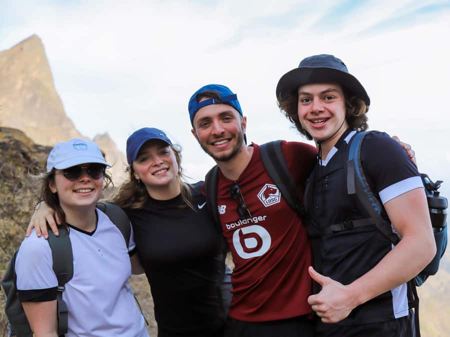
At $100 per person, this is not the cheapest way to spend half a day on Santiago. The value depends on what you would otherwise need to arrange yourself.
The price includes:
- Pickup and drop-off in Praia or São Jorge dos Órgãos
- Transportation
- A live guide
- Liability insurance
- A picnic with a sandwich, fruit, and soft drink
You are paying for more than access to a trail. You get transport to a remote starting point, route support on difficult ground, and a return ride after the one-way hike. For a visitor without a car or local trail knowledge, those pieces add practical value.
The small-group or private format can also improve the experience. A small group makes it easier for the guide to keep track of everyone on narrow paths and to adjust the pace. Private departures cost more if arranged as an alternative to a minimum-size shared group, so check the final arrangement before booking.
A shared group needs at least two participants. If that minimum is not reached, the operator may suggest another date, offer a private departure for an added fee, or cancel with a full refund. That is worth knowing if your travel dates are fixed.
Guide support and group pace
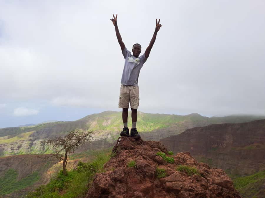
The guide is one of the most important parts of this hike. The path can be narrow and tilted, and the route includes enough climbing and descending to make pacing a safety issue.
The available guides speak English, French, Spanish, and Portuguese. Elder has received particularly strong praise for being helpful during difficult moments, keeping watch over group safety, and explaining local nature in an accessible way. Another recent experience also noted excellent guides and an exceptional driver.
You should still speak up about your pace. A guide can help, but you need to be honest about fatigue, breathing, or balance. Stop before you are exhausted, especially before the long descent. The strongest part of the guiding service is not simply leading from the front. It is making sure you can follow safely over changing ground.
Pickup is straightforward. Wait in your hotel lobby 10 minutes before the scheduled time. The driver carries a sign with your last name and waits no more than five minutes after the planned pickup. That short waiting window makes it important to be ready early.
What to wear and carry for the 9-kilometer route
Take the equipment advice seriously. You should bring:
- Hiking shoes with a solid grip
- Plenty of water and other drinks
- A sun hat
- Sunscreen
- Hiking pants
- Walking sticks if you use them
Hiking pants are strongly advised from August through November. The route can include rough or close-growing sections, and trousers offer more protection than shorts. You should also dress for changing conditions. Monte Txota is one of the cooler parts of Santiago, while sun exposure can increase on open sections near the summit.
Water is the biggest practical issue. The included soft drink is not enough for a difficult hike. Carry your own supply from the start, since the supplied picnic is small and there is no stated provision for regular water stops.
Do not count on ordinary trainers for this route. The path quality is narrow and sloping, with possible basic climbing. Shoes with good grip will make the descent safer and more comfortable.
Who should choose this hike
This outing suits you if you already have some walking fitness and want Santiago’s high point rather than a gentle park visit. You should be comfortable walking for four to five hours and handling a total elevation range from roughly 485 meters to about 1,400 meters.
It is a good match for:
- Hikers who want a physical challenge
- Visitors interested in Santiago’s mountain ecology
- People who value wide island views
- Anyone without a car who wants organized transport
- Hikers who prefer a guide on narrow or unfamiliar paths
- Visitors who can travel with flexible timing in case of low group numbers
It is not suitable for pregnant women, people with mobility impairments, wheelchair users, or people with respiratory issues. The minimum age is 16. If you have doubts about your fitness or health, this is the wrong place to test yourself without medical advice.
The difficult rating should be taken literally. You do not need advanced mountaineering skills, but you do need balance, stamina, and comfort with uneven ground. The basic climbing sections are described as level 1, yet even easy climbing feels harder when you are tired.
Weather, visibility, and the best mindset
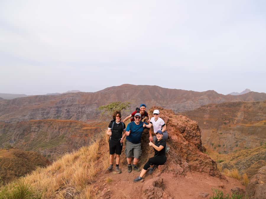
The views depend on conditions. Maio Island and Fogo’s volcano may appear in the distance, but clouds or haze can hide them. The summit experience is still worthwhile because you are standing on Santiago’s highest point and looking across the São Jorge Valley.
I would book this for the mountain walk first and the distant islands second. That mindset keeps the day enjoyable even if the weather limits visibility. Monte Txota’s cooler air, biodiversity, and changing views provide plenty to notice along the route.
The trip can be canceled up to 24 hours before departure for a full refund, and you can reserve while paying later. Those terms help if your Santiago plans are still shifting, but they do not remove the need to check pickup details and the shared-group minimum.
Should you book the Monte Txota to Pico d’Antónia hike?
Book it if you want Santiago’s highest summit and are ready for a difficult, guided hike with a long descent. The combination of transport, a live multilingual guide, picnic, insurance, and return ride makes the $100 price reasonable for visitors who would otherwise need to arrange the day themselves.
Skip it if you want an easy nature walk, dislike narrow trails, or are mainly chasing guaranteed views of Maio and Fogo. For fit walkers, the best reason to go is the full mountain experience: cool Monte Txota, a demanding route, the São Jorge Valley, and the chance to look across much of Santiago from Pico d’Antónia.
FAQ
How long does the full activity last?
The full outing lasts about 6 hours. The walking portion takes roughly 4 to 5 hours.
How far is the hike?
The trail distance is approximately 9 kilometers.
What is the highest point reached?
The hike reaches Pico d’Antónia, about 1,394 meters above sea level, the highest point on Santiago Island.
How difficult is the route?
It is rated difficult. The path can be narrow and tilted, and some sections may require basic level 1 climbing.
How much elevation does the hike involve?
The route has about 660 meters of elevation gain and approximately 1,280 meters of elevation loss.
Where does the hike begin?
The walking portion begins in Rui Vaz after pickup and transport from Praia or São Jorge dos Órgãos.
What is included in the picnic?
The picnic includes a sandwich, fruit, and a soft drink.
Can I see Maio and Fogo from the summit?
You may see Maio Island and Fogo Island’s volcano if weather and visibility permit.
What languages can the guide speak?
Guiding is available in English, French, Spanish, and Portuguese.
Is the hike suitable for everyone?
No. It is not suitable for pregnant women, people with mobility impairments, wheelchair users, or people with respiratory issues. The activity is for people over 16 who have some fitness and no health problems.
Just added around the world
- Madeira: Hike Transfer to Ponta de São Lourenço (PR8)★ 4.8 · 26 reviews
- Garibaldi Park/ Panorama Ridge/ Hiking Day Trip★ 5.0 · 4 reviews
- Glacier Express Jeep & Hiking Tour – Local Icelandic Guide★ 5.0 · 8 reviews
- Funchal: PR1.2 Pico Ruivo & Achada Teixeira Hiking Transfer★ 4.9 · 27 reviews
- Full Day in Côte Bleue: Scenic Nature Walk and Boat Tour★ 5.0 · 3 reviews
- Funchal: Pico Grande Guided Hike with Curral das Freiras★ 5.0 · 6 reviews
- From El Calafate: El Chalten Full-Day Tour and Short Hike★ 4.5 · 84 reviews
- From Reykjavik: South Coast and Glacier Hiking Tour★ 5.0 · 14 reviews
Cape Verde Hiking Tours, compared.

Serra Malagueta: Principal Valley Hike & Lunch with Locals
Read our review →
Praia: Baobab Mysterious Tree, Green Valley & Old City Hike
Read our review →
From Tarrafal: Serra to Principal Hike & Lunch with locals
Read our review →
Serra Malagueta Natural Park: Hike to Gongon Valley & Lunch
Read our review →
From Tarrafal: Verdant Valley Hike & Lunch With Locals
Read our review →Browse the lists this tour appears in