
REVIEW · MOUNTAIN & SUMMIT HIKES
Almaty: Advanced Hiking – Four Peaks Hike
Almaty’s Four Peaks hike is not a gentle mountain outing. It is a full-day ridge challenge through the Ile Alatau, with four summits rising as high as 3,450 meters and up to 2,000 meters of ascent. You start in the Kim Asar Valley, pass the famous mountain swings, and finish high above the city at Shymbulak.
I like the private format, since your guide can set the pace and watch your footing on difficult sections. I also like the cable car finish, a smart reward after hours on the trail. Guides including Temirlan, Victor, and Valihan have earned especially strong praise for safety, organization, and calm support.
The main caution is simple: this is an advanced hike, not a sightseeing walk with a little exercise attached. The distance is given as 11.5 kilometers in the route details and about 15 kilometers in the main description, so you should prepare for the longer figure. Snow, ice, and seasonal conditions can make it harder still.
Four Peaks, 2,000 Meters, One Serious Day
- Furmanov Peak at 3,050 meters follows the climb from Kim Asar and the mountain swings.
- Panorama Peak at 3,200 meters brings broad views over Almaty and the high Tien Shan.
- Bashuta Peak at 3,400 meters marks the route’s more demanding high section.
- Chimbulachka Peak at 3,450 meters is the highest point and the day’s main summit.
- Private guiding and hotel transfers keep the logistics simple and the pace tailored to your ability.
- Trekking poles, winter crampons, GPS navigation, park entry, and Kazakh chocolate are included.
Why This Hike Is Different From a Normal Almaty Day Trip
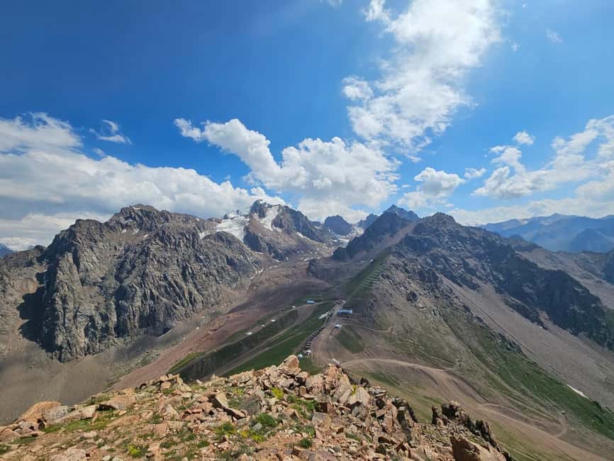
Many mountain outings near Almaty focus on one viewpoint, one valley, or one popular resort. This route links four named summits in a single push. You are not simply walking to a lookout and returning by the same path. You are gaining height for much of the day, crossing a ridge, and changing your views with every peak.
The route begins at about 1,845 meters and reaches 3,450 meters. That is a major vertical gain in one day. Your legs will feel it, and so will your breathing as you climb higher. The reward is a changing view over the valleys, Almaty, and the mountain ranges beyond.
I like the way the route builds toward its highest point rather than giving you the main summit at the start. Furmanov gets you into the rhythm of the hike. Panorama opens the scenery. Bashuta raises the stakes. Chimbulachka is the final high point before the route turns toward the upper Shymbulak station.
This progression also explains why the hike takes eight to ten hours. You need time for steady climbing, short breaks, route checks, and the ridge traverse. The total day also includes transport back to Almaty.
More Mountain Hikes in the world:
- Berber villages : Atlas Mountains Day Hike from Marrakech
★ 5.0 · 14,007 reviews - Bali: Sunrise Mount Batur Guided Hike with Breakfast
★ 4.8 · 9,660 reviews - Bali: Mount Batur Sunrise Guided Hike and Natural Hot Spring
★ 4.8 · 9,284 reviews
From Kim Asar Valley to the Mountain Swings
Your pickup is in Almaty, with private round-trip transport included. The guide confirms the pickup time, weather, and equipment advice a few days before the hike, using WhatsApp or Telegram. On the day itself, you are met at your hotel entrance or in the lobby.
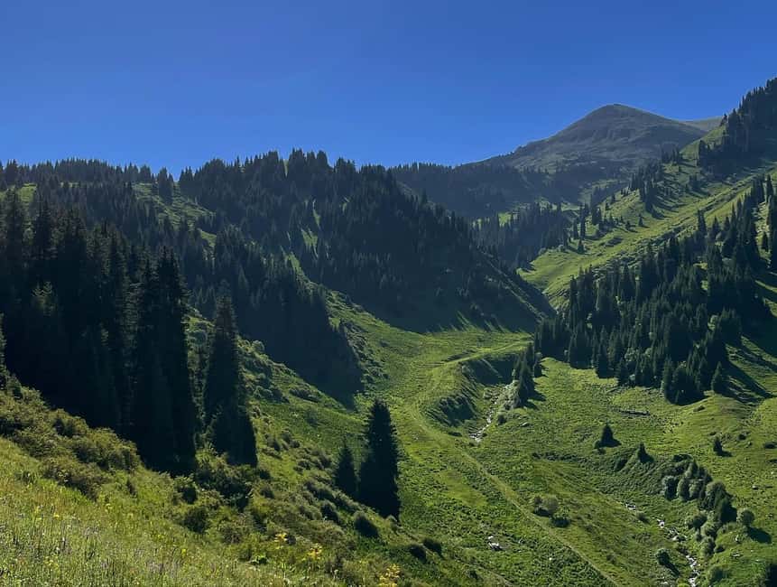
The trail starts in the Kim Asar Valley at about 1,845 meters. The first part is a gradual ascent, but gradual does not mean easy. You have a long day ahead, so your guide should help you find a pace that you can hold rather than letting you burn energy too early.
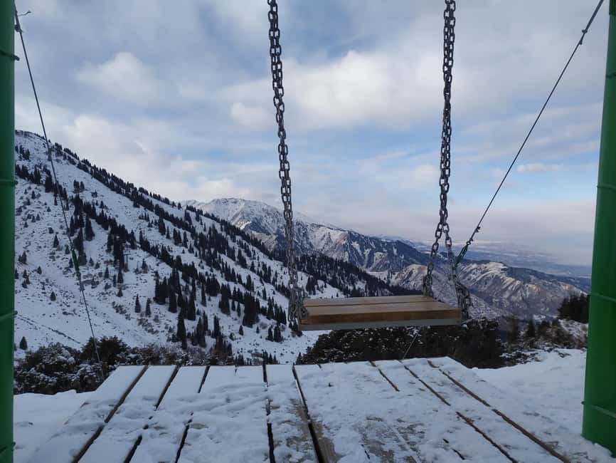
The mountain swings are one of the route’s more playful stops. They are a popular photo point, but they also mark the transition from the lower approach into the serious climb. Enjoy the view, take a breath, and do not treat this as the end of the scenic part. The best views are still above you.
The route schedule breaks the early approach into several hiking sections of about an hour each. That gives you a useful sense of the day: this is sustained movement, not a trail with long stops at every attraction.
Furmanov Peak at 3,050 Meters
Furmanov Peak is the first named summit, reached after roughly an hour and a half of hiking from the earlier stages of the route. At 3,050 meters, it is already high enough for thinner air and more serious mountain conditions.
This is where you will understand the scale of the day. The route has not yet reached its highest point, but you have already climbed well above the city. The views back toward Almaty and across the surrounding valleys give you a strong reason to pause.
Furmanov is also a useful test. If your legs are already struggling badly here, the remaining ridge will be demanding. A private guide can adjust the pace and assess how you are handling the ascent, but you still need enough fitness to continue safely.
The trail is rugged alpine terrain. That means uneven ground, changing footing, and sections where trekking poles are useful. The included poles are not a decorative extra. They can help with balance, especially when the trail is steep or the surface is loose.
The Ridge to Panorama Peak
From Furmanov, the route follows a scenic ridge toward Panorama Peak at about 3,200 meters. This is one of the most memorable parts of the hike because the views keep opening as you move along the high ground.
Panorama is named for good reason. From this height, you get broad views over Almaty and the taller mountains beyond. The city and the high Tien Shan appear in very different ways from the valley floor. I like this part of the route because you are not waiting for a single final viewpoint. The scenery works continuously as you walk.
The ridge traverse is also where the route demands confidence. You need to be comfortable walking on mountain terrain for hours, not just climbing a short steep section. In dry conditions, the challenge is mainly endurance, elevation, and footing. In winter, snow and ice make every step more important.
Your guide carries a GPS navigator because mobile signal is not available on all routes. That is a practical safety measure, especially on a long high-altitude route where conditions can affect the exact line of travel.
A few more hikes around the world worth a look
- From Marrakech: Ouzoud Waterfalls Guided Hike and Boat Trip
★ 4.7 · 33,630 reviews - Cinque Terre Day Trip with Optional Hiking or Pisa
★ 5.0 · 8,486 reviews - From Marrakech: Atlas Mountains Full-Day Hiking Trip w Lunch
★ 4.8 · 7,417 reviews - Marrakech: Ourika Valley Trip with Waterfall Hike
★ 4.6 · 6,792 reviews
Bashuta Peak at 3,400 Meters
Bashuta Peak takes you above 3,400 meters, and by this point the day is no longer about simply reaching the first summit. You are managing fatigue while continuing higher.
The route schedule allows several hours of hiking across the middle and later portions of the day. The exact rhythm will depend on your group, weather, and trail conditions, but you should expect a long stretch with no easy shortcut. There is no claim that this is a technical climbing trip, yet it remains a demanding mountain route.
This is where the private setup has real value. A guide can keep an eye on your pace, offer brief breaks, and help you decide how to use your remaining energy. The included Kazakh chocolate is a small touch, but useful on a long day. Pack your own lunch as well, since lunch and dinner are not included.
You should also keep drinking regularly and bring extra clothing. The supplied advice calls for warm and spare layers, comfortable hiking clothes, sunscreen, a cap, and sunglasses. At high altitude, sunny conditions can feel pleasant while exposed skin still takes a beating.
Chimbulachka Peak at 3,450 Meters
Chimbulachka is the highest point on the route at about 3,450 meters, or roughly 11,320 feet. Reaching it after Furmanov, Panorama, and Bashuta gives the day its central achievement.
The final summit is not just a box to tick. You will have gained up to 2,000 meters from the starting point, crossed high terrain, and spent many hours on your feet. The views over the Ile Alatau and the valleys below are the payoff for that effort.
You need a moderate to high level of fitness for this route, despite the basic information describing a moderate level as necessary. The difficulty is explicitly advanced, and the total climb is the clearest guide to what that means. If your recent activity has been limited to easy city walks, this is probably the wrong mountain day.
The route finishes at about 3,200 meters near the upper Shymbulak cable car station. That means Chimbulachka is the high point, but you do not necessarily walk all the way down to the valley after summiting. The cable car descent is a welcome change after the ridge crossing.
The Shymbulak Cable Car Finish
The cable car return is one of the route’s smartest features. After a long descent can be as tiring and hard on the knees as the climb, the cable car brings you down from the upper Shymbulak station in comfort.
It also gives the day a clear finish. You complete the mountain portion high above the city, then descend while still seeing the surrounding peaks. The route details list the finish at 3,200 meters, followed by a transfer that takes about an hour and a half back to Almaty.
Cable car operation matters, though. Maintenance in April and May, as well as September through November, can affect the logistics. Ask for confirmation before booking during these periods. The route may need adjustment if the cable car is unavailable.
Winter Changes the Route Completely
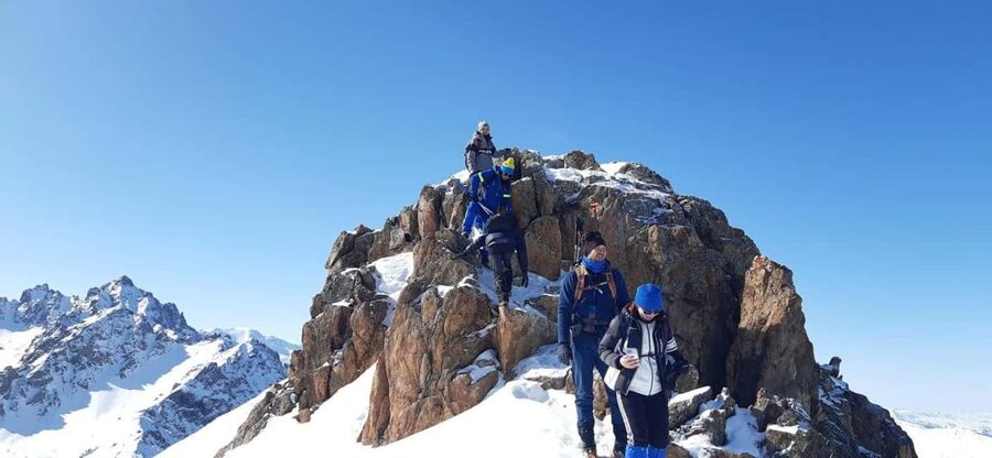
The winter version runs in reverse. You ascend by cable car to about 3,200 meters, hike up to Chimbulachka, and then descend on foot toward Kim Asar Valley.
This setup can be more demanding than the warmer-season route because snow and ice affect the entire descent. Snow crampons are provided and fit over winter boots, while trekking poles help with balance. You still need proper hiking shoes and warm spare clothing.
April and November can bring avalanche risk. That does not mean the tour automatically runs in unsafe conditions, but it does mean the route may change or be cancelled for safety. The guide contacts you before the hike to confirm weather and equipment recommendations, so keep your phone available on WhatsApp or Telegram.
Winter views can be striking, but the cold season should not be chosen simply because the photos look appealing. You need confidence on slippery ground and enough stamina for a long downhill finish.
What the $210 Price Really Covers
At $210 per person, this is not a cheap casual excursion. I judge the price against what is included: private hotel transfers, an English-speaking guide, national park entry where required, trekking poles, winter crampons when needed, a GPS navigator, and the cable car descent.
The private format is the largest part of the value. You are not tied to a large group moving at one fixed pace. The route can be managed around your ability, within the limits of safety and daylight. For an advanced hike with a 2,000-meter climb, that personal attention matters more than a souvenir or a snack.
The price does not include lunch, dinner, or insurance. Bring your own food and check your insurance before setting out. Insurance is available as an optional extra for tourists, but it is not part of the listed price.
The four verified bookings that form the available feedback all received the top rating. The strongest pattern is not a comment about food or transport. It is praise for the guides’ safety, organization, and friendly manner. Victor was specifically praised for making a February hike feel safe. Valihan was singled out for handling the tough route in a well-organized way. Temirlan was praised for keeping the group comfortable and secure in the mountains.
That consistency matters, but it does not change the physical demands. A good guide can help you manage a hard route. A guide cannot remove the climb.
Who Should Book the Four Peaks Challenge
I would choose this hike if you regularly walk long distances, handle steep climbs, and feel comfortable on uneven mountain trails. You should be able to spend most of a day outdoors with limited comfort, changing temperatures, and sustained effort.
It suits an active visitor who wants more than a cable car ride or a single viewpoint near Almaty. It also works well if you prefer a private day with a guide rather than a large shared group.
I would not choose it for children under 16, pregnant people, anyone with heart problems or high blood pressure, or anyone with a low level of fitness. People over 80 are also excluded. If you have a medical concern, arrange suitable medical advice before booking.
Bring:
- Hiking shoes with firm support
- Comfortable clothes and warm extra layers
- Lunch and enough water
- Sunscreen, a cap, and sunglasses
- A valid phone number with WhatsApp or Telegram
The tour has free cancellation up to 24 hours before departure, and you can reserve now and pay later. Those policies offer useful flexibility, especially since weather and cable car conditions can affect mountain plans.
Is This Almaty Hike Worth Booking?
Book it if you want Almaty’s toughest major day hike, four named summits, and wide Tien Shan views in one private outing. The guide support, safety equipment, hotel transfers, and cable car finish make the $210 price easier to justify.
Skip it if you want a relaxed introduction to the mountains, dislike long ascents, or are not prepared for snow and changing conditions. The most honest way to view this outing is as a serious endurance day with excellent scenery, not as a normal excursion with a little hiking added.
If you are fit, properly equipped, and ready for a long day, the Four Peaks route gives you a memorable way to see the mountains around Almaty, with the hard work and the views arriving together.
FAQ
How long does the Four Peaks hike take?
The activity lasts about 10 hours, with the hiking portion generally taking 8 to 10 hours depending on conditions and pace.
How far is the route?
The detailed route information gives the distance as 11.5 kilometers, while the main description describes approximately 15 kilometers. You should prepare for a demanding full-day route and use the longer figure for planning.
What are the four peaks on the route?
The route visits Furmanov Peak at 3,050 meters, Panorama Peak at 3,200 meters, Bashuta Peak at 3,400 meters, and Chimbulachka Peak at 3,450 meters.
Where does the hike start and finish?
The hike starts in the Kim Asar Valley at about 1,845 meters. It finishes near the upper Shymbulak cable car station at about 3,200 meters, followed by a cable car descent and private transfer to Almaty.
Is the hike available in winter?
Yes, the activity operates year-round with seasonal restrictions. In winter, the route is done in reverse, beginning with a cable car ride to 3,200 meters and ending with a descent on foot toward Kim Asar Valley.
Are trekking poles and crampons provided?
Trekking poles are provided for each participant. Snow crampons are provided for winter hikes and fit over winter boots.
Is lunch included?
No. Lunch and dinner are not included, so you need to bring your own food. Kazakh chocolate is provided during the hike.
Is the experience private and guided in English?
Yes. It is a private group experience with an English-speaking live guide. Hotel pickup and drop-off in Almaty are included.
Just added around the world
- Madeira: Hike Transfer to Ponta de São Lourenço (PR8)★ 4.8 · 26 reviews
- Garibaldi Park/ Panorama Ridge/ Hiking Day Trip★ 5.0 · 4 reviews
- Glacier Express Jeep & Hiking Tour – Local Icelandic Guide★ 5.0 · 8 reviews
- Full Day in Côte Bleue: Scenic Nature Walk and Boat Tour★ 5.0 · 3 reviews
- Funchal: Pico Grande Guided Hike with Curral das Freiras★ 5.0 · 6 reviews
- Funchal: PR1.2 Pico Ruivo & Achada Teixeira Hiking Transfer★ 4.9 · 27 reviews
- From El Calafate: El Chalten Full-Day Tour and Short Hike★ 4.5 · 84 reviews
- From Reykjavik: South Coast and Glacier Hiking Tour★ 5.0 · 14 reviews
Mountain & Summit Hikes, compared.
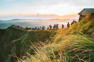
Sunrise Mount Batur Guided Hike with Breakfast
Read our review →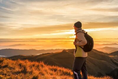
Mount Batur Sunrise Guided Hike and Natural Hot Spring
Read our review →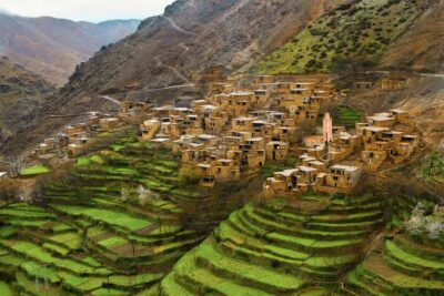
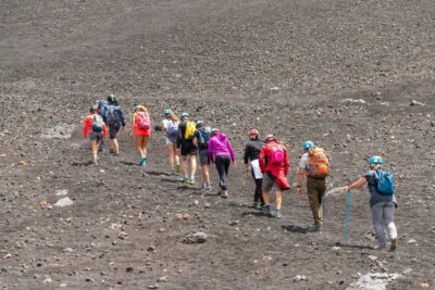
Mount Etna: Summit Guided Hiking Tour up to 3,400 m
Read our review →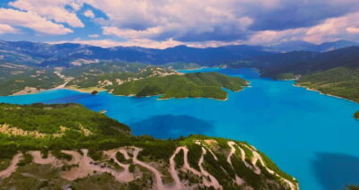
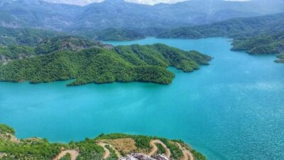
Bovilla Lake & Gamti Mountain Hiking Day Trip
Read our review →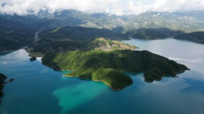
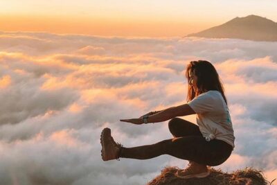
Mount Batur Sunrise Hike and Natural Hot Spring Option
Read our review →Browse the lists this tour appears in